
Sources for Urbandale Neighbors
The immediate block has several record layers. Polk GIS is the best first view for the eastern part of Urbandale. The county assessor confirms parcel and ownership fields. The Recorder carries deeds, and city files can tie a public project or hearing to a place. Dallas County offices serve parcels west of the county line. Each source proves only what its own record says.
| Source | What it shows about a block | Access |
|---|---|---|
| Polk GIS parcel layers | Adjacent parcels, owner, situs/Mail To, legal, deed, tax, districts, aerials | Free viewer; click, select, measure, and print |
| County assessor | Owner and parcel/address fields | Public address, owner, plat, or parcel search |
| Recorder | Deed parties and title history for each parcel | 1992-present online; older Polk records by microfilm |
| Voter records | Individual verification or fields in a lawful requested file | Named-person form; bulk data by request, fee, and intended use |
| CitizenServe | Permits and projects tied to address or parcel | Anonymous public search; full date span unstated |
| CivicWeb and Archive | Place-linked applicants, petitioners, officials, and public documents | Free document search with date and context |
| DUNA renewal map | Downtown association geography | Official map; no member directory |
| Block-party program | Event request and police liaison | Public contact; no participant roster |
The owner shown on a parcel may live there, lease it, hold it through a trust, or receive tax mail elsewhere. A permit contact or meeting speaker may be tied to a project but not to the household. These distinctions keep a search for neighbors accurate.
Map an Urbandale Block
The Polk County GIS parcel viewer accepts an address through its regional or national locator. Turn on tax parcels, parcel points, streets, subdivision lots, city limits, and useful district layers. Copy the target parcel number and legal description before moving outward.
- Search the address, choose the correct candidate, and zoom until lot boundaries are clear.
- Open the target popup and save owner, situs, Mail To, legal description, parcel ID, and deed book/page.
- Click each touching polygon. Record its type before treating it as a private lot.
- Confirm owner fields in the assessor record and use the deed book/page when title history matters.
- Repeat with Dallas County records if the block crosses the county line near western Urbandale.
A touching polygon may be a street, alley, drainage tract, common area, school, utility parcel, or public district. Read the legal description and owner type. For a whole named street rather than the immediate block, use the Urbandale street directory.
Select Nearby Urbandale Parcels
The GIS attribute table can examine a selected map extent. Page-size choices include 25, 50, 100, and 1,000 rows. Select by extent and Draw can frame a short block. Measurement tools report distance in feet or miles and area around a point. Those tools describe a map selection, not a legal survey or official neighborhood boundary.
Print or share the view for context, but retrieve legal and person fields from the parcel popup or source office. An export action is visible, yet its exact format was not confirmed. It may omit fields excluded from a layer definition. The parcel popup carries owner names, situs and Mail To, deed dates, book/page, tax class, tax district, TIF district, legal description, values, and links to assessor or treasurer data.
Save identifiers now. The current Polk GIS map is planned for replacement by the end of 2026, while parcel numbers and legal descriptions should outlast the interface.
Not Every Urbandale Parcel Is Home
A map makes all polygons look alike. The fields tell a different story. Owner type, tax class, legal description, deeded acres, subdivision, city limit, and district layers help separate a private lot from a road, common tract, drainage area, utility land, park, school, or association parcel. A large polygon beside a house may have no resident at all.
- Situs address
- The physical location used for maps and parcel searches.
- Mail To
- The destination for tax mail, which may differ from the site.
- Parcel
- A mapped unit of land with its own county identifier.
- Legal description
- Lot, plat, or survey words that identify the land.
Urbandale's city, postal, county, school, sewer, and tax boundaries do not line up. The city contains land in Polk and Dallas counties and six school districts. Two lots that look like one block can therefore lead to different offices and district fields. Preserve that geography rather than assuming the street name settles it.
Urbandale Voters Are Not a Roster
The Iowa voter registration search verifies a named person using first name, last name, ZIP code, house number, and full birth date. It does not offer a button to list every voter on a street. For block-level data, Iowa law provides a separate voter-file request with jurisdiction, status, product, election-history, format, fee, and intended-use choices.
Public list fields may include name, address, registration status, party, precinct or district, registration date, and optional participation history. Social Security numbers, driver's or nonoperator IDs, secret-ballot choices, agency-protected data, and Safe at Home actual addresses stay out. Participation means whether a voter took part, not how that person voted. Iowa Code sections 48A.34, 48A.38, and 48A.39 govern access and restrictions.
Adjacent parcel owners remain the practical free block layer. Voter data is a separate statutory file, and it cannot prove every household member or current occupant.
Urbandale Community Contacts, Not Lists
Urbandale has civic and neighborhood channels, but research did not locate a public citywide HOA or neighborhood membership directory. The Downtown Urbandale Neighborhood Association renewal-area map defines official geography. It does not publish member households. The city's block-party program offers a police liaison and event request, not a participant roster.
Downtown Urbandale Area
Resource: DUNA renewal-area map
Use: Confirm downtown geography
Limit: No public membership list found
Block Party Liaison
Contact: Community Relations Officer Jenna Jensen
Phone: 515-331-6804
Program: National Night Out and block events
Police Non-Emergency
Address: 3740 86th Street
Phone: 515-222-3321
Use: Non-emergency city police contact
The Police Department began sending officers to neighborhood block parties in 2009. A request can help neighbors plan a shared event without disclosing who lives at each address. Congregation, block-watch, and civic-club rosters were also not found as public citywide lists.
Read Urbandale Civic Roles Carefully
The city publishes boards, commissions, meeting calendars, agendas, and minutes. These can name officials, applicants, petitioners, speakers, or project representatives tied to a place. The set includes planning and zoning, parks, library, civil rights, public art, sanitary sewer, water utility, and other boards. A civic role is useful context, but it is not proof of a private residence.
The Urbandale city staff directory is the closest successful official directory capture in the image set.
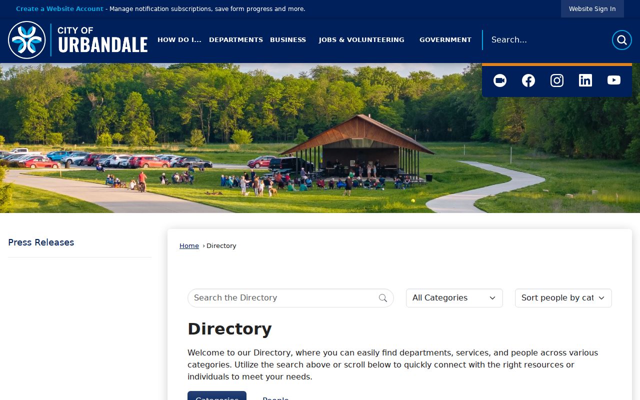
The screen illustrates the difference between a public role directory and a neighbor list: staff contacts identify city duties, not households on a block.
CivicWeb and the city Archive can be searched by topic and date. Keep the meeting title, document date, and the named person's role. Never turn an attendee or applicant into an unsupported claim that the person is one of the nearby residents.
Official Urbandale Records Compare Better
Commercial neighbor-search products may blend address histories, filings, and inferred household links. Their sources, update dates, correction paths, and opt-out practices vary. Official records are narrower, but each has a known keeper and purpose.
| Question | Official record route | Commercial category |
|---|---|---|
| Who owns this parcel? | Assessor, GIS, then deed | May repeat old or inferred ownership |
| What touches this lot? | GIS parcel geometry and legal fields | Often hides map-layer context |
| Is a named voter registered? | State verification form | May mix stale public and inferred data |
| Who belongs to an association? | Ask the organization; roster may be private | May imply membership without a source |
Use an official index to form a lead, then obtain the source record if the point matters. A parcel card can be current yet still list an owner who lives elsewhere. A deed can name a buyer but does not list all occupants.
Protect Privacy in Urbandale Searches
No official block search reveals every renter, child, guest, roommate, phone number, utility customer, or household relationship. Iowa Safe at Home protects actual addresses for qualified survivors. Voter files withhold protected identifiers. DMV address and phone data is restricted, and no public Urbandale utility-customer list was located.
Map aerials can show when roads and structures appeared, with Polk layers extending into the 1930s, 1950s, 1960s, and 1970s. They do not identify who lived inside. Permits can date work but not every resident. Community posts or meeting records must remain tied to their date and public context.
Lawful use matters. Use neighbor records for civic curiosity, reconnection, or personal awareness, never to monitor, intimidate, expose, or harass another person.
Urbandale Neighbors Across Boundaries
The city's Downtown Urbandale Neighborhood Association Renewal Area map is an urban-renewal reference, not a member directory. The Police Department's block-party program supplies a request form and community contact route. Community Relations Officer Jenna Jensen can be reached at 515-331-6804, and the non-emergency police line is 515-222-3321. Those contacts help organize a lawful event; they do not disclose private households.
If a block crosses the Polk and Dallas county line, repeat the parcel review with the correct county office. City limits, ZIP labels, school districts, sewer districts, and parcel lines do not match in every place. Saving each parcel number, legal description, and county prevents nearby lots from being assigned to the wrong public roll.